← All projects
Mapping local news coverage in Charlotte — Tow Center for Digital Journalism

Mapping local news coverage in Charlotte

Tow Center for Digital Journalism May 2026 Visual & Interactive

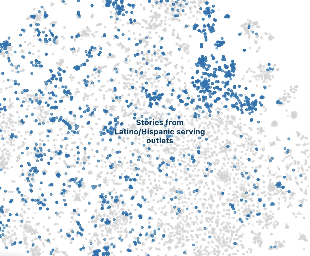
Built the interactive graphics and census-tract-level mapping tool for a Tow Center study mapping 66 news providers against 18,234 articles, revealing stark local news coverage disparities tied to race across Charlotte.

Tools & methods
AILLMsmappingCartographydata visualizationgeospatialSveltesemantic analysis

Copyright © Tory Lysik 2026. Find me on Bluesky, Twitter, LinkedIn, or see whatever code and repositories I happen to have public on GitHub.